

Mapping Mission and Roof Report for Primex Manufacturing: Aerial Imaging Solutions in Action
- Mar 24, 2025
- 2 min read
Updated: Mar 28, 2025
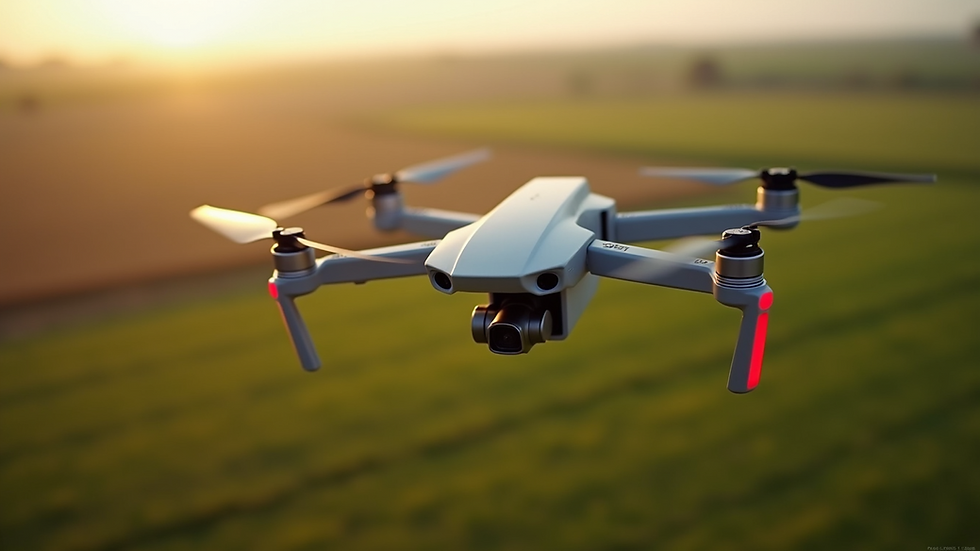
At Aerial Imaging Solutions, we pride ourselves on delivering cutting-edge drone technology for precise, efficient, and cost-effective mapping and inspection services. Recently, we partnered with Primex Manufacturing in Hector, Minnesota, to perform an aerial mapping mission and roof report. This collaboration highlighted the power of our drones in providing detailed insights and actionable data for manufacturing and industrial sites.

Aerial Mapping for Precision and Efficiency
Primex Manufacturing, a leader in providing innovative, high-quality solutions for industrial clients, needed accurate site mapping for future development and construction planning. Traditional surveying methods would have been time-consuming and risky. Instead, we used our state-of-the-art drones equipped with high-resolution cameras and photogrammetry software to capture the entire site with centimeter-level accuracy.
The result was a 3D model of the facility, showing precise topography, building footprints, and surrounding features. This digital model enables Primex to plan efficiently for expansions, layout adjustments, and improvements. The mapping was completed faster than traditional methods, saving both time and labor costs while ensuring a detailed and up-to-date site map.
Roof Inspection with High-Resolution Imaging
In addition to the site mapping, Primex requested a roof inspection to assess its current condition and identify potential maintenance needs. Using our advanced drones, we conducted a comprehensive aerial survey of the roof, capturing high-resolution images from all angles. The results were impressive: every crack, wear spot, and potential problem area was clearly visible, allowing the Primex team to make informed decisions about repairs or upgrades.
Our high-zoom imaging capabilities helped detect micro-degradations and structural issues that would have been challenging to spot from the ground. This detailed insight ensures that Primex can address issues proactively, avoiding costly repairs down the line.


The Power of Drone Technology for Industrial Sites
At Aerial Imaging Solutions, we believe that drone technology is the future of site mapping and inspection. With precision, safety, and speed, our drones offer solutions that traditional methods simply can't match. By eliminating the need for human involvement in dangerous or hard-to-reach areas, we not only reduce risk but also provide faster, more accurate reports.
Why Choose Aerial Imaging Solutions?
Cutting-edge Drone Technology – Our drones are equipped with the latest sensors and cameras for high-precision mapping and inspections.
Fast Turnaround – Get the data you need quickly, reducing downtime and improving operational efficiency.
Cost-effective – Our services offer competitive pricing with no sacrifice in quality or detail.
Personalized Service – We work closely with clients to meet their unique needs and deliver tailored solutions.
Contact Us Today
Aerial Imaging Solutions is ready to assist with your next mapping or roof inspection project. With our advanced drone technology, we provide faster, safer, and more efficient solutions for industries of all kinds. Let us help you achieve your goals with high-quality, reliable data.
Contact us today to schedule your aerial survey or inspection:
Phone: +1 (651) 263-6121Email: aerialimagingsolutions.mn@gmail.com

Comments